Day 47-52: Kennedy Meadows to Kearsarge Pass
Mile 700.4 - 789.1
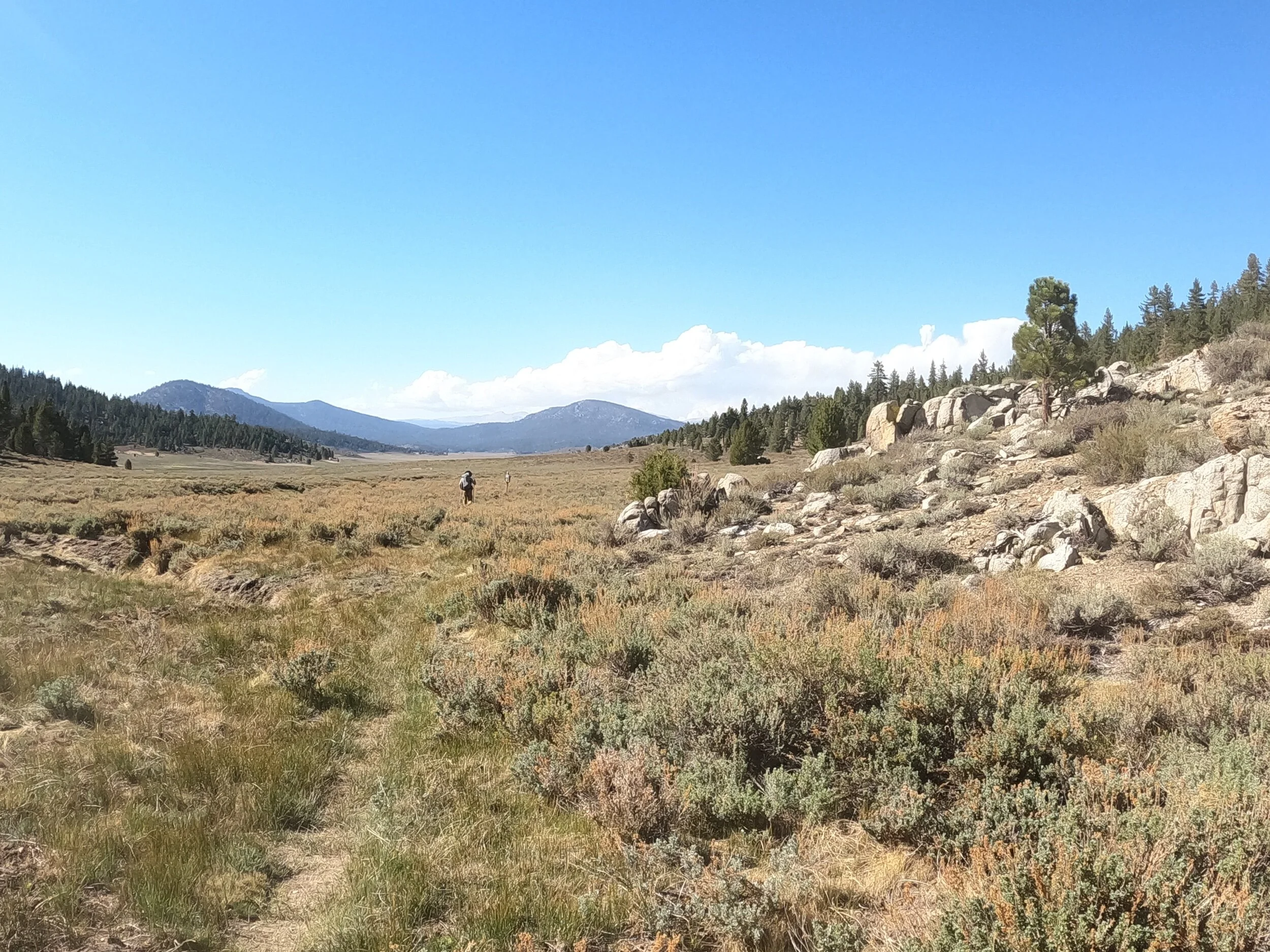
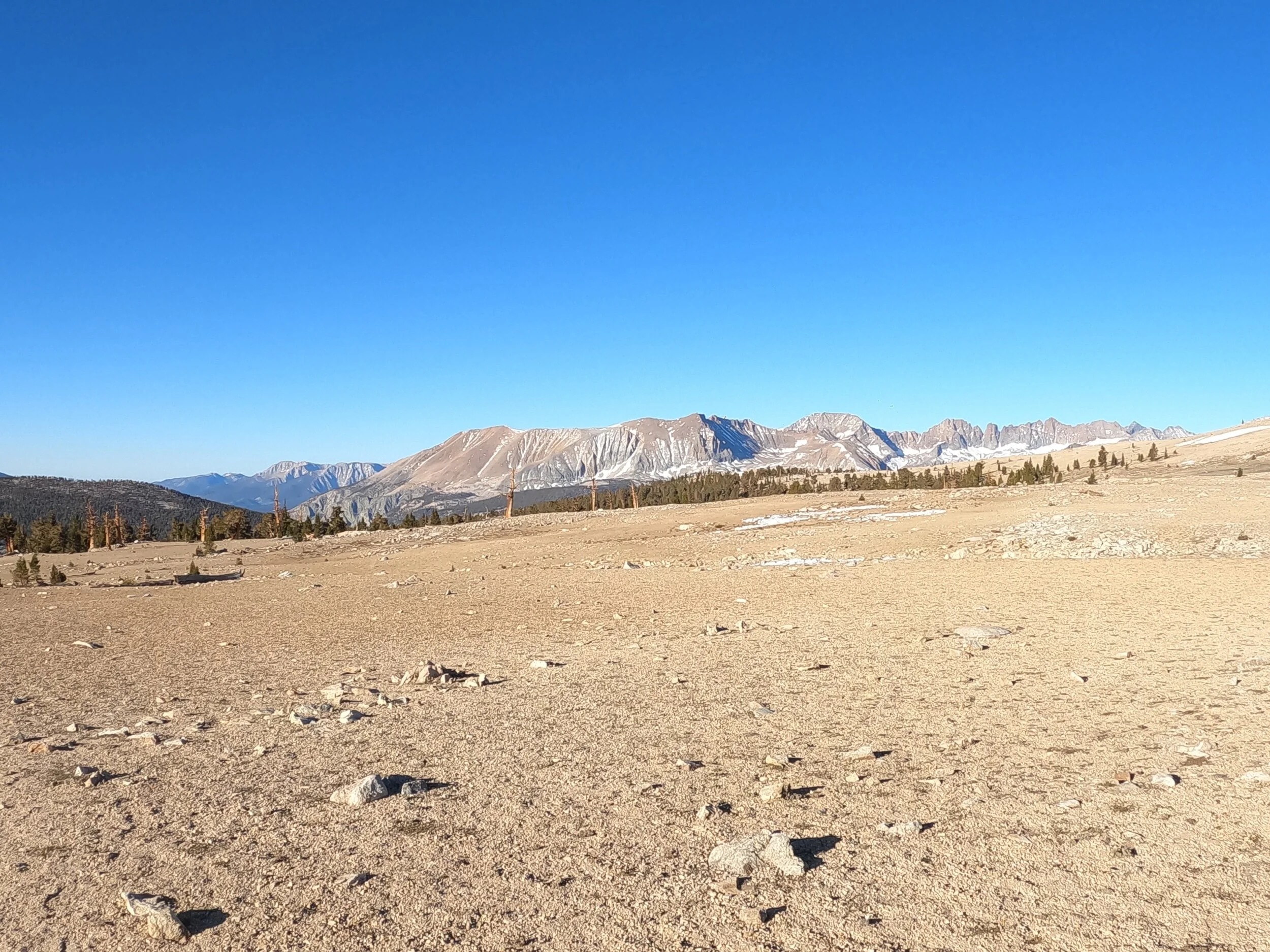
So the desert was done and it was on to the Sierra Nevada mountains. The first few days were nice, but it was in the back half of this stretch where things really became amazing. The first day, I left Kennedy meadows and went up into the mountains. Towards the end of the day I entered a beautiful meadow with some mountains in the distance.
The next day I only did 14 miles to avoid some incoming weather. I was in my tent by 1:00, and apparently a group of people behind me got caught on in some real nasty thunder. On day 3 it was time to get back on track with a 20 mile day. The views were nice all day, and I wanted to finish and camp at Chicken Spring Lake, the first lake of the Sierra.
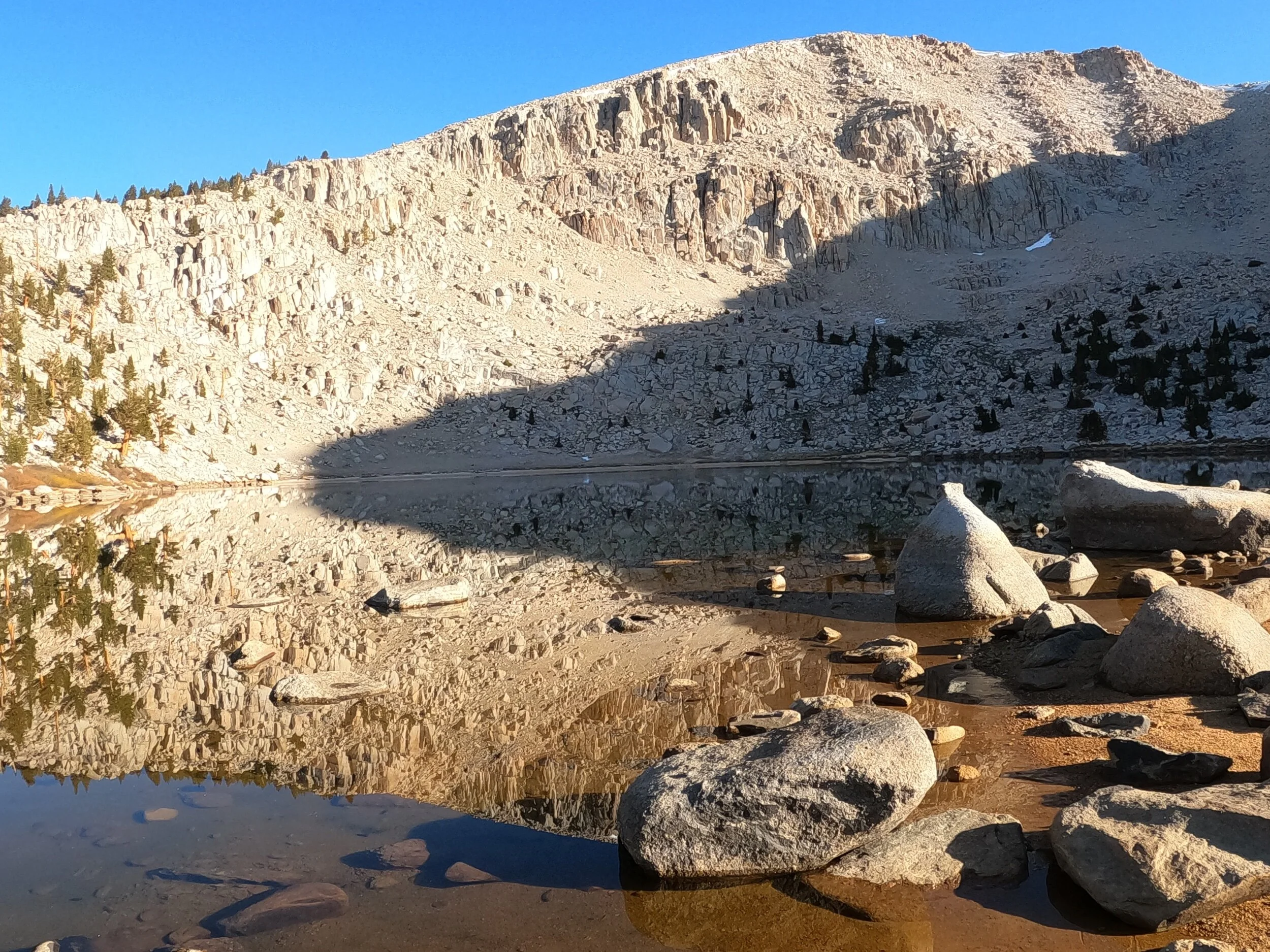
At the time, I was amazed by the scenery, but it was nothing compared to what I was about to see over the next few days. On day 4, I was really in the mountains. I hiked to the bottom of Mount Whitney and was treated to amazing views along the way, as well as a super steep, albeit short climb.

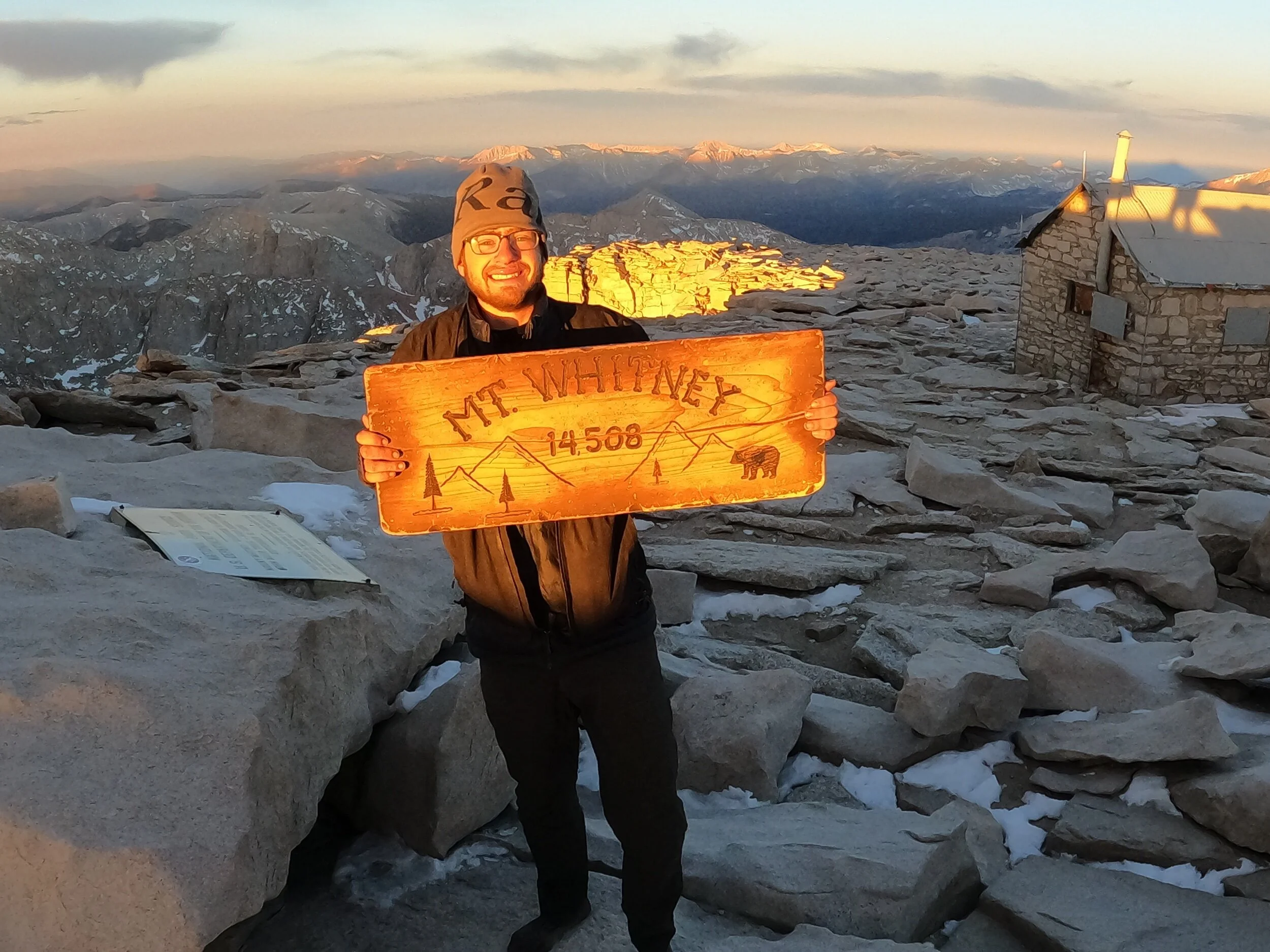
My plan for the next day was to do a day hike up Mount Whitney, the highest point in the lower 48 states at 14,505 feet. About a mile from the bottom, views of the mountain opened up and they were certainly intimidating.
At 1:00 A.M that night, I was off for the summit with the goal of making it for sunrise. The stars were beautiful, and walking up through the dark was an awesome experience. As I got higher up, the temperature dropped like a rock. Seriously, by the time I was over 13,000 feet it was probably the coldest I had ever been while hiking. All of my water froze, but I pushed on and curled up in my sleeping bag once I got to the summit. The sunrise over The Valley 11,000 feet below was incredible.
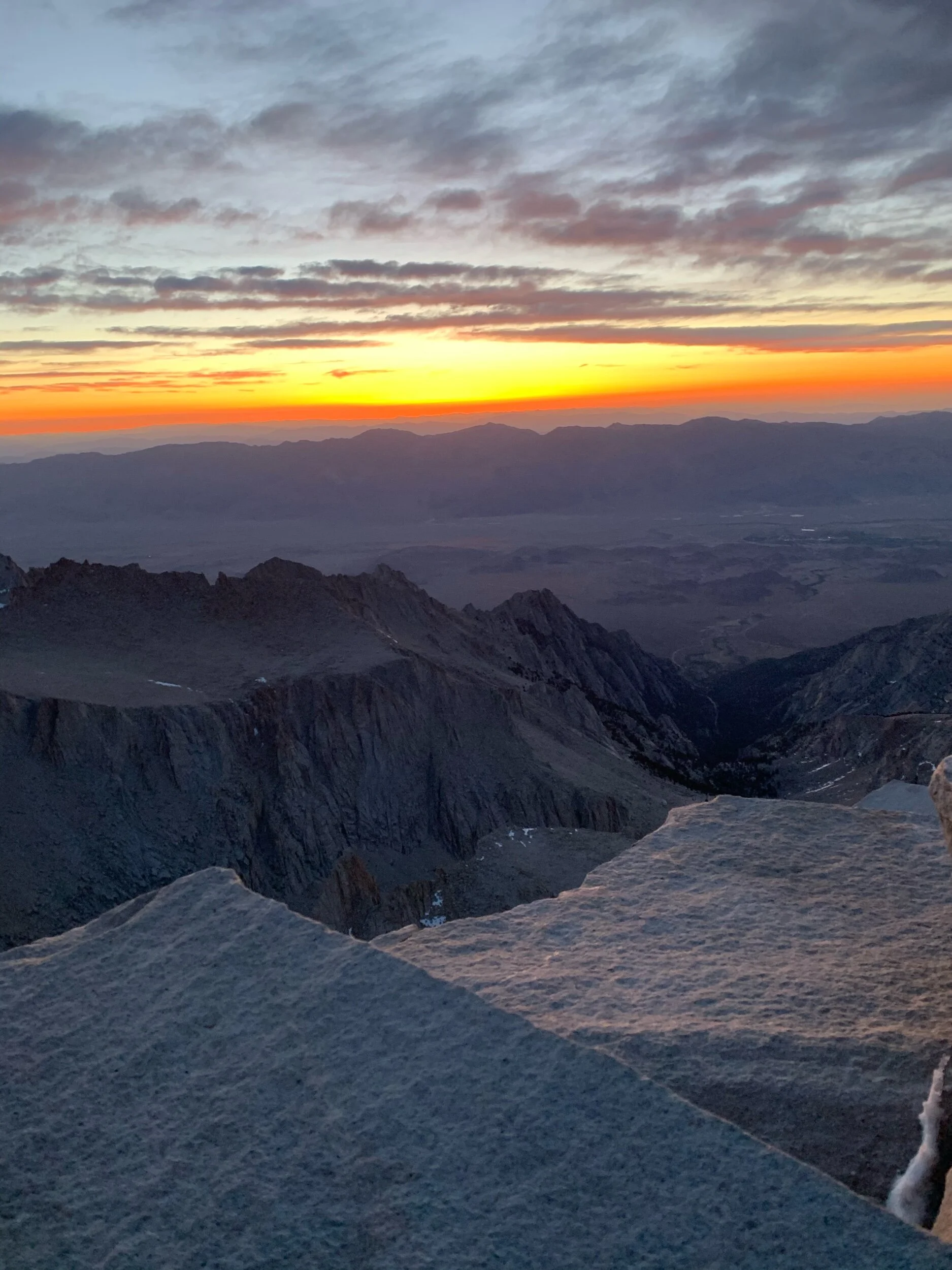
It was also incredible making the summit in the dark and slowly watching everything around me get illuminated. I was the first one at the summit, so at that moment I was higher up than all 300+ million people in the lower 48. Pretty cool.
I returned to camp but was exhausted from summit day. I took a nap then walked another 5 miles and called it a day.
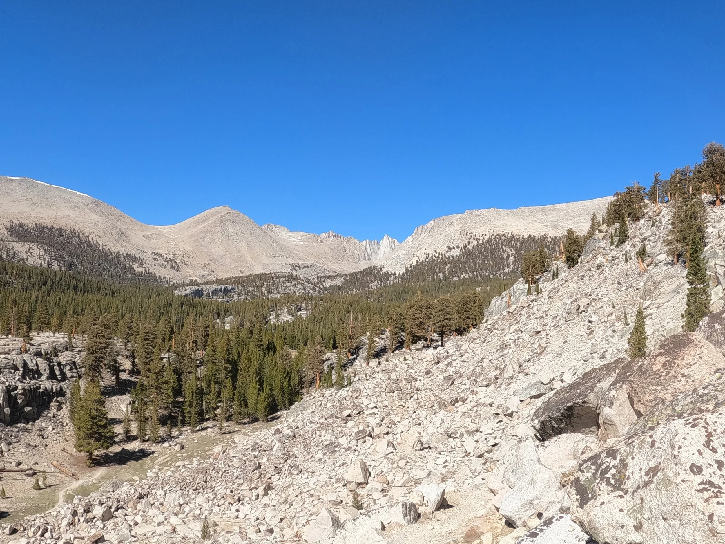
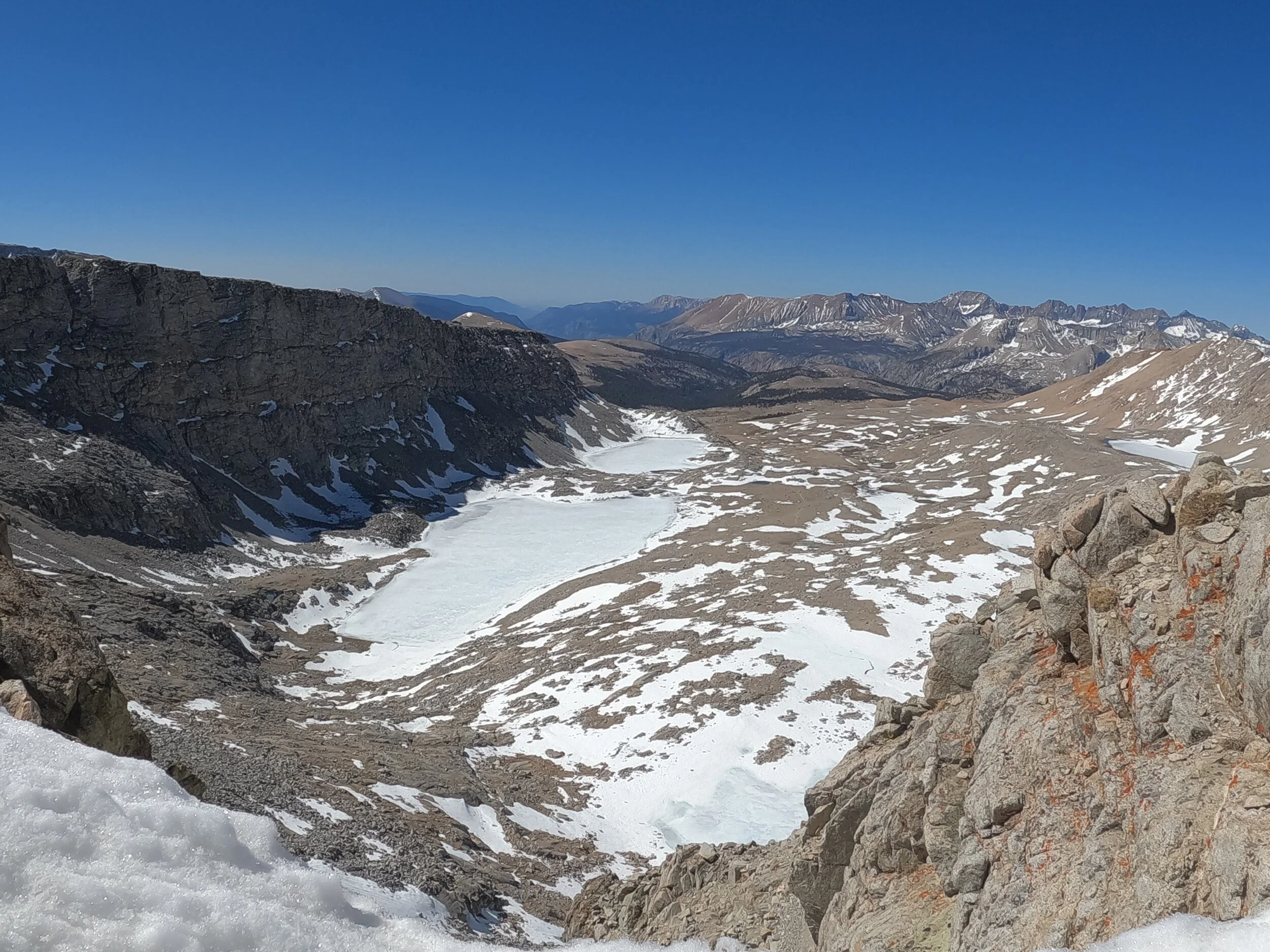
I had caught wind of some pretty cold and snowy weather coming in a couple days. To avoid it, I realized that the next day I would have to hike 25 miles out to civilization, including Forester Pass, the highest on the PCT. I got up and made the push to Forester and felt great.
The final push to the pass was cold and steep, but I just pushed on and was greeted with some mind bending views at the top.
The climb up was followed by a nine mile descent, but the views were so good I hardly noticed the miles going by. Before I knew it, I was at the junction to leave the PCT via Kearsarge Pass.
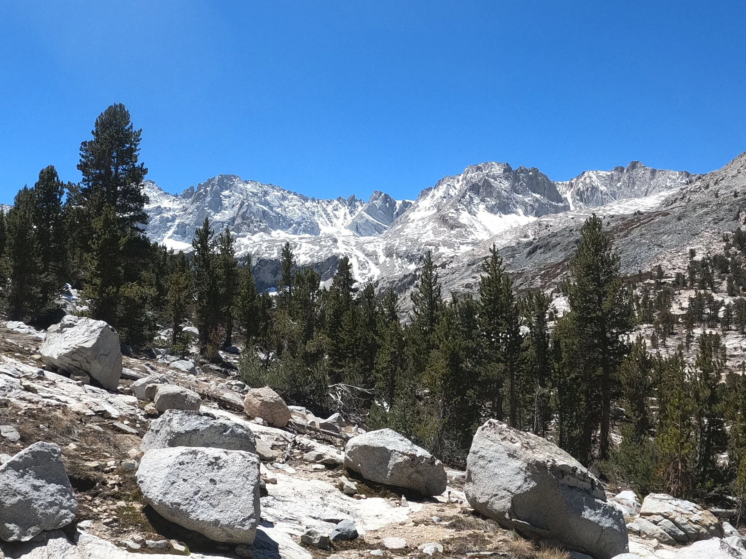
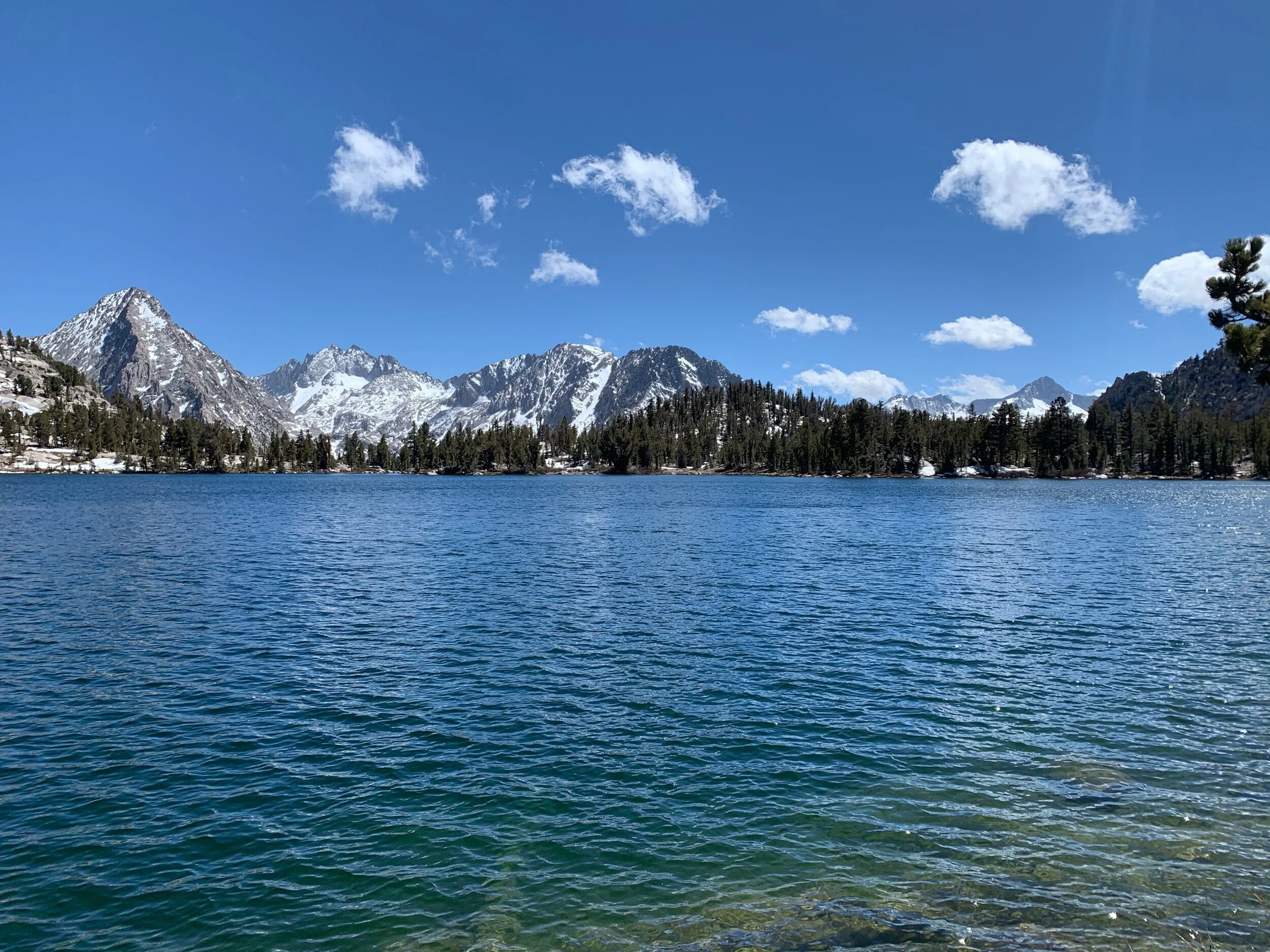
The trail up and over Kearsarge Pass had more incredible views, including the mountains over Bullfrog Lake.
The final climb to the top of the pass was steep, but then it was smooth sailing and 25 miles done to Onion Valley trailhead. I was with another 2 hikers at the time, Bear and Rugby. Bear’s father was in the area and was able to give us a ride to the town of Bishop. I am still waiting out the weather right now but am excited to get out there for the next haul to Mammoth Lakes, which is supposed to be one of the best legs of the entire trail.